XYZ (Mapping)
RS Mapping (XYZ)

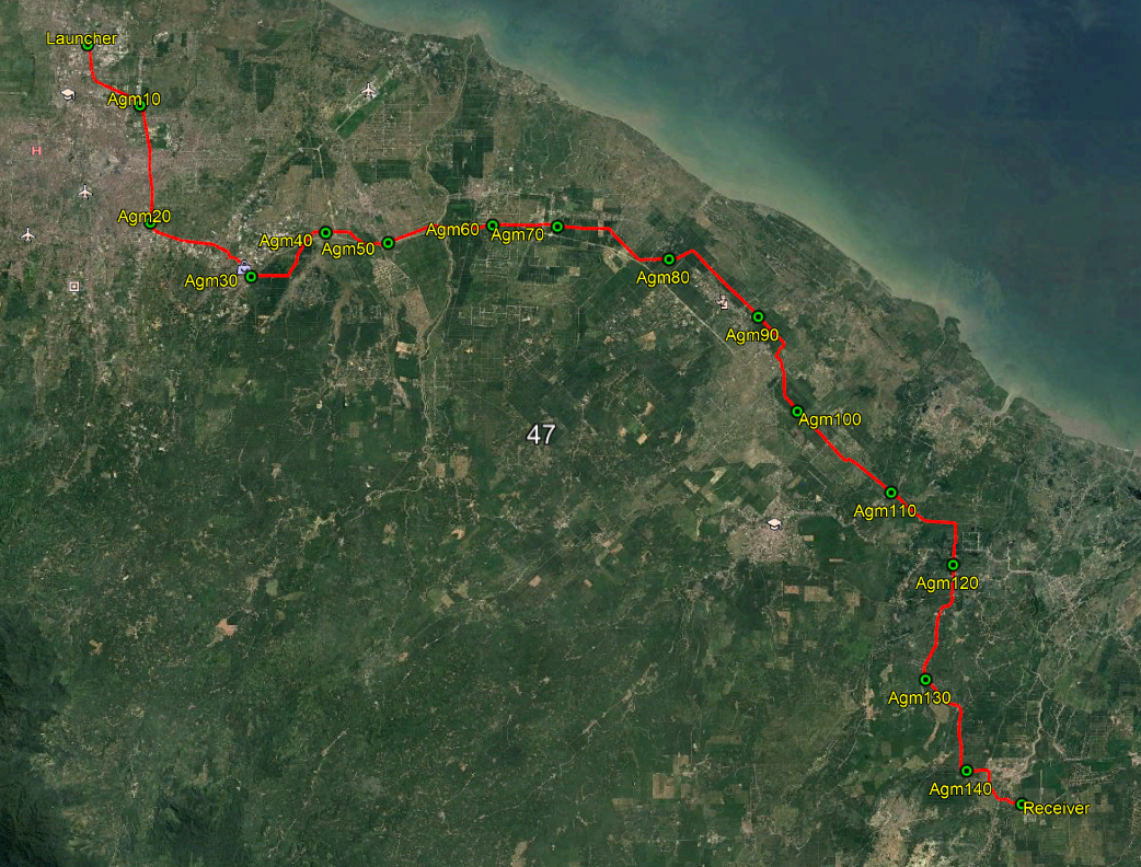
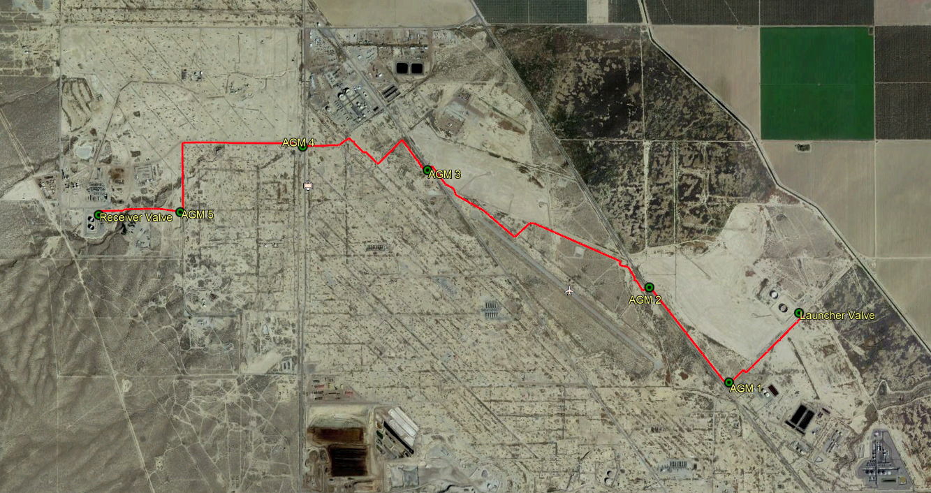
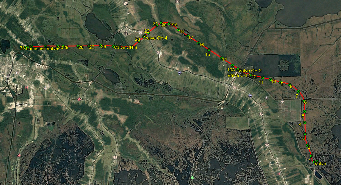
EnviroCal's XYZ solution simplifies traditional pipeline mapping allowing for debris mapping as well as geometry inspection. This system equips its users with detailed maps of key pipeline features, such as valves, girth welds, fittings, and any other anomalies.
It is perfect for monitoring any pipeline displacement and for the calculation of bending strain. If your project requires some excavation this system will show you exactly where you need to go. This is all available on EnviroCal’s, ‘Run on your own’ model.
Latitude and Longitude for pipeline features
By providing latitude and longitude, we offer both a very precise and very accurate way to conduct inspections, with a high level of accuracy. This is an economically friendly and time-efficient method to get the inspections you require.
RoW Identification
Right-Of-Way identification is a service that is provided if sufficient survey data is unavailable. This can provide essential information such as the pipes usage, line number, size, piping class, and insulation class. RoW, is identified by pipeline markers at the sides of roads.
Elevation Profile
This is the image of a two-dimensional cross-sectional view of a landscape. It gives its users a side view of a terrain’s elevation across a line drawn between points on a map.


